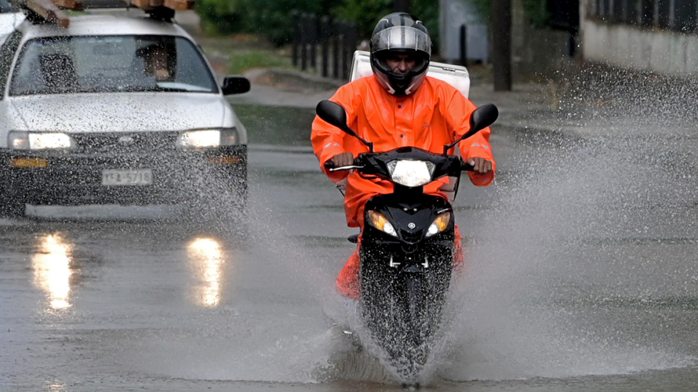
The Hellenic National Meteorological Service (HNMS) issued an emergency weather report forecasting a deterioration of the weather with extreme phenomena expected to affect the whole country.
The Bad weather system named “ARIEL” which is due to a barometric low in southern Italy is moving east-northeast and is predicted to cause local high rain heights, high precipitation rates, and high frequency of lightning in the maritime-coastal sections, and the stormy southerlies 7 to 8 Beaufort. The bad weather will last from tonight (Tuesday 29-11-2022) until the evening hours of Thursday (01-12-2022).
The effects will be particularly strong in places in central and eastern Macedonia and in the northernmost parts of Thessaly.
The weather at a glance
-Rains are expected in most areas of the country, especially on Wednesday and Thursday locally heavy
-Snow in the central and northern mountains
-The temperature will fluctuate at below-normal levels, but from Thursday it will rise
-Winds will reach the 6 to 7 and temporary seven to eight Beaufort.
The weather tomorrow will be unsettled, as initially in the west and gradually in the rest of the country clouds with rain and storms are forecast, possibly strong in some regions, mainly in the west, central, and south, and from the evening in the eastern island country. Snow will fall in the continental highlands.
Winds will blow in the northeast from 4 to 6 and from the afternoon locally at 7 Beaufort. In the rest of the areas, there will be east-southeast winds of 5 to 6 and in the Ionian until noon 7 to 8 Beaufort.
More detail:
A. From Tuesday night (29-11-2022) until the midday hours of Thursday (01-12-2022) there will be strong
rains and storms in the southern Ionian, western and southern Peloponnese, and western Crete.
B. a) From the morning of Wednesday (30-12-2022) until the midday hours of Thursday (01-12-2022) the northern Ionian,
western Sterea, Epirus, Crete (mainly the western and southern ), and gradually the rest of the Peloponnese, the eastern Sterea (including Attica), Central Macedonia, Thessaly, the Cyclades, Evia, and the Sporades.
b) From noon on Wednesday (30-12-2022) until the evening of Thursday (01-12-2022) eastern Macedonia, the islands
of the northern and eastern Aegean, and the Dodecanese will be affected. From the afternoon hours of Thursday (01-12-2022) until the evening, Thrace will also be affected.
C. From the afternoon of Thursday (01-11-2022) the strong phenomena will show a gradual weakening in most areas, but they will
continue to affect the islands of the eastern Aegean and the Dodecanese with heavy rains and storms until the evening.
Three-day bad weather is predicted to “cover” the whole country starting tomorrow with heavy rains and storms.
Ask me anything
Explore related questions